Brooklyn’s waterfront has quietly become one of the city’s most dynamic fronts—where history, recreation, and climate planning meet vibrant neighborhood life.
From the piers of DUMBO to the industrial edges of Red Hook, waterfront transformation is reshaping how people live, work, and play in Brooklyn.
What’s changing on the Brooklyn waterfront
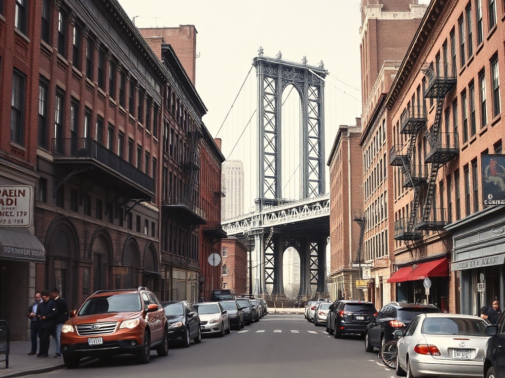
The shoreline’s shift is visible: old warehouses turned into parks and mixed-use developments, new esplanades that link neighborhoods, and public art that animates once-neglected piers. Major parks and pocket green spaces now stretch along the East River and Upper New York Bay, offering residents expansive views, waterfront trails, and year-round programming. Waterfront corridors are being designed with dual goals—public access and flood resilience—so recreation and safety grow hand in hand.
Climate-smart public space
Flood risk is a reality for low-lying Brooklyn neighborhoods, and design strategies reflect that.
Projects increasingly use natural systems—salt-tolerant plantings, living shorelines, and marshlands—to absorb storm energy while creating habitat. Raised promenades, flexible seating, and adaptable event lawns allow parks to function after high-water events.
These interventions aim to protect communities while preserving the aesthetic and recreational value of the waterfront.
Transit and accessibility
Improved transit is central to experiencing the waterfront. Expanded ferry routes connect waterfront neighborhoods directly to Manhattan, Queens, and other Brooklyn piers, making it easier to visit without a car. Bike lanes, pedestrian-friendly promenades, and better signaling help pedestrians and cyclists move safely between neighborhoods. For anyone planning a waterfront day, combining a ferry ride with a bike or walk offers a memorable, low-stress trip.
Neighborhood highlights
– DUMBO and Brooklyn Bridge Park: Iconic skyline views, restored piers, and public events make this a must-see stretch.
It’s an ideal spot for strolling, picnicking, and catching sunset views.
– Williamsburg and Domino Park: A blend of newly developed parkland and historic industrial character, with playgrounds, dog runs, and food options nearby.
– Red Hook: More industrial and lower-key, Red Hook offers seafood spots, artisan workshops, and a sense of neighborhood authenticity.
Flood-awareness projects are shaping future public access here.
– Gowanus: With ongoing environmental cleanup and new development, Gowanus is balancing remediation with expanded green space and creative reuse of industrial buildings.
Food, culture, and small business
The waterfront’s resurgence fuels local economies: waterfront dining, breweries, galleries, and maker spaces are clustered along the shoreline. Pop-up markets and seasonal festivals draw crowds and support small businesses. Visiting less-touristed piers and neighborhood eateries helps support local entrepreneurs while avoiding heavy foot traffic in the most photographed zones.
Tips for visitors and residents
– Time your visit for early morning or late afternoon to enjoy cooler temperatures and softer light for photos.
– Combine modes: take a ferry one way and walk or bike back to experience different neighborhoods.
– Check park calendars for free programs—outdoor movies, fitness classes, and family activities are common.
– Respect wildlife zones and plantings—many areas double as habitat restoration projects.
Brooklyn’s waterfront is more than scenic views; it’s a living laboratory for urban design, community resilience, and neighborhood revitalization. Whether you’re exploring parks, sampling local food, or simply enjoying a ferry ride, the shoreline offers new ways to connect with the borough’s evolving identity.